Norfolk Broads & Norfolk Rivers
The Norfolk Broads are a unique mixture of man made expanses of water connected by meandering rivers and dykes throughout much of Norfolk and into Suffolk. The 125 miles of East Anglian wetlands are all about windmills and wild bird reserves - though you can visit the historic city Norwich the the lovely sandy beaches of Great Yarmouth.
Originally thought to have been formed naturally, it wasn't until the early 1960's that research conclusively proved that the Broads themselves were the result of medieval man digging for peat to fuel their fires. These peat diggings later flooded to form the beautiful Broadland landscape we have today.
Norfolk Windmills
The windmills that are dotted around the Norfolk landscape were used in part to mill grain, but more commonly to pump water to assist in and manage the drainage on the marsh land.
Well known mills in the Norfolk Broads area include:-
- Berney Arms Mill
- Horsey Mill
- Sutton Mill
- Stracey Drainage Arms Mill
- Thurne Drainage Mill
For more mills, see the information on How Hill below.
How Hill
The How Hill Estate is an educational study centre set in a beautiful thatched Edwardian house in acres of reed, marsh, woodland and a small broad, together with a marshman's cottage and three restored drainage mills. The main purpose of the Estate is to provide residential courses for school children & young people who can have a go at thatching and similar type crafts. The centre is also ideal for conferences and training activities as it makes a prestigious setting for presentations. The Edwardian house is not open to the public, but the rest of the estate is. This includes the marshman's cottage 'Toad Hole Cottage' now a tiny museum & Broads Authority Information Centre, nature trail, Electric Eel - electric powered boat trips through the reed beds and walks along the banks of the River Ant.
In the How Hill area there are four mills, not metioned previously mentioned in the list above :-
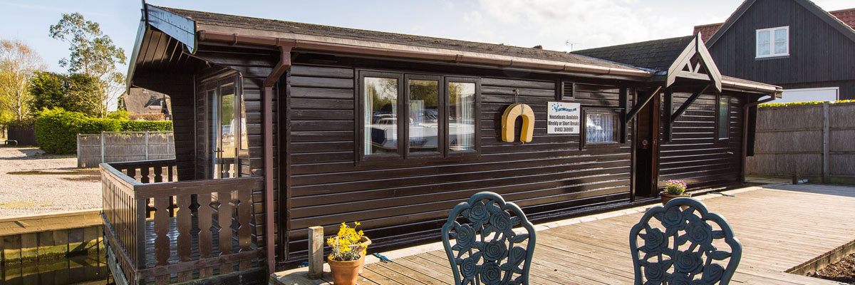
- How Hill Windmill, this was a grain mill, the grain arriving by wherry. It is brick built and seems always to have been tarred. This has now been converted to a holiday home, the only one of its kind in the area. For details, see the listing in the Waterside directory, self catering - Norfolk.
- Boardman's Mill is next to the staithe, it is a wooden trestle smock mill and was used to pump the surrounding marshes. (On the East side of the river.)
-
Clayrack Mill is about two hundred yards further upstream and was physically brought here in 1988 from Ranworth to give it a new home and to preserve it. It is a hollow post structure, now almost unique.
-
Turf Fen Mill is on the opposite bank, like the How Hill windmill it is brick built, but this one was a pumping mill, pumping the marshes on the west side of the river.
Rivers connecting the Norfolk Broads
The rivers that link the Norfolk Broads, Norwich, Yarmouth and other towns in Broadland, were also in part man made.
Over the years man has raised the banks to stop flooding of the low-lying land and altered the routes of the rivers to connect or bypass areas.
The main rivers connecting the Norfolk Broads are:-
- River Ant - from Dilham Staithe to Ludham Bridge
- River Bure - from Coltishall Common to North West Tower, Great Yarmouth
- River Thurne - from Catfield Staithe to Womack Island
- River Yare - from Whitlingham to Reedham
- River Chet - Chedgrave to Loddon
- River Waveney - from Geldeson Lock to Burgh Castle
Breydon Water at Great Yarmouth is a large tidal estuary, it is 5 km long and more than 1.5 km wide in places. This exapanse of water connects with the River Bure, the River Yare and the River Waveney. Safe passage for boats is indicated by red and green marker posts. Unlike most of the navigable waterways in the Broads, Breydon Water is not subject to a speed limit.
The end result is that we have around 150 miles of navigable rivers and around 41 shallow lakes, all interconnected and fringed with reed beds that give the keen sailor, the fisherman, the naturalist, and the holidaymaker, unrivalled opportunities to pursue their interests in a natural setting of some of the most beautiful scenery in Britain. This area is managed by the Broads Authority, set up in 1989 with responsibility for conservation, planning and recreation. Already a member of the National Parks family, the Broads Authority is now bidding for World Heritage Status for the Broads which would raise it's profile on the global scene and put the area on a par with the Pyramids and the Great Barrier Reef to name just two!
The Norfolk Broads
The most well known of the navigable Broads are:-
- Barton Broad
- Bridge Broad
- Hickling
- Hoveton Little Broad / Black Horse Broad
- Malthouse Broad
- Oulton Broad
- Rockland Broad
- Salhouse Broad
- South Walsham
- Surlingham Broad
- Wroxham Broad
There are also several Broads which are non-navigable :-
- Alderfen Broad - footpaths around the Nature Reserve
- Cockshoot Broad - access via board walk to nature trail & bird hides
- Hoveton Great Broad - reached by water only, with moorings on the River Bure beside entrance
- Martham Broad - footpath, this Broad contains some of the clearest water in the Broads system.
- Filby, Ormesby & Rollesby - known as the Trinity Broads. Row boats possible in some parts.
- Ranworth - access via board walk to nature trail and Broads Wildlfe Centre
Since becoming a member of the National Park, the Broads Authority has worked to restore the clear water and quality of the UK's only national wetland, which is famous the world over for its rich and rare variety of plants, animals and birds.
If you are visiting the Norfolk Broads area , the floating Wildlife Centre owned by Norfolk Wildlife Trust has fabulous views over Ranworth Broad and contains interactive displays. Refreshments are available and binoculars and telescopes are provided for use from the upper windows.
The Norfolk Broads and Broadland area is home to some very quaint and pretty villages and towns, here are just a few:-
- Acle - A small market town on the River Bure. The weekly market and auction is held on a Thursday at the sale ground. You will find high quality butchers and grocers, good restaurants and two small supermarkets among the shops.
- Beccles - On the River Waveney. A historic market town, visit on a Friday when stallholders gather for a weekly market in the appropriately-named New Market. A very attractive town with a good variety of shops, pubs and restaurants.
- Brundall - On the River Yare. A small village with 2 railway stations! Home to Broom Boats founded in 1898 and still building luxury cruisers. Norfolk Boat Sales are also based here.
- Burgh St Peter – On the River Waveney. A marina with good overnight facilities, pub which serves food and small shop for essential items.
- Cantley – Off the River Yare. The chimneys with steam rising from Cantley sugar beet factory can be seen for miles around, also good mooring facilties and a pub serving food.
- Coltishall - At the head of navigation on the River Bure. A pretty village with several pubs all of which serve food, and a variety of other small shops. It is possible to walk past the 'no navigation' signs right up to the old lock gates and mill pool which is beautiful.
- Horning - On the River Bure. Quite possibly the prettiest village on the Norfolk Broads, and certainly one of the most expensive places to buy property.
- Filby - Part of the Trinity Broads which are non-navigable but there is a boardwalk offering fishing facilities and panoramic views over the open water The solid 40 metre walkway is the first and only public access to the broad and is suitable for wheelchair users.
- Geldeston - On the Norfolk side of the River Waveney it is the head of navigation. The pub here is worth a look 'Geldeston Lock Inn'. It is very traditional and serves local real ales and often hosts live music events. There is a very low bridge at Beccles which prevents some boats from passing under.
- Great Yarmouth - Where the River Bure meets the North Sea. A popular seaside resort with a large town and lovely sandy beaches. There is a large marina here when holiday craft can moor up and walk into the town.
- Hickling – Off the River Thurne. Home to ‘The Norfolk Wildlife Trust’ at Hickling Broad. Nice pub in the village The Greyhound.
- Horsey Mere - Off the River Thurne. Horsey Mere is the closest Broad to the sea. A magnificent wind pump (owned by National Trust) sits on Horsey staithe and is open to visitors.
- Ludham - Off the River Thurne. Hunters Yard can be found in the village, home to the superb Hunter Fleet of traditional wooden sailing yachts since 1931. One of the last remaining trading wherries 'The Albion' is also based in the village - she is easily distinguishable with her vast black sail.
- Loddon – Off the River Chet. A small market town with a variety of shops, pubs and restaurant. The name "Loddon" is thought to mean ‘muddy river’ in Celtic.
- Norwich - On the River Yare. An historic city known as the capital of East Anglia. It is the most complete medieval city in Britain and boats over 1,500 historic buildings including Norwich Cathedral whose spire dominates the city's skyline.
- Oulton Broad - Off the River Waveney, forms the southern gateway to the Broads in Suffolk. Head down to the Nicholas Everitt Park during the summer months and on most Thursday evenings you can find the perfect spot to watch some of the worlds top drivers at Power Boat Racing.
- Potter Heigham - River Thurne. The medieval bridge here is believed to date from 1385, and is famous for being the most difficult to navigate on the Norfolk Broads. Know locally as just 'Potter', the village is also home to one of the largest discount stores in the county 'Lathams' which also sells a huge range of fishing equipment.
- Reedham - On the River Yare. The river flows very fast through the village which makes for interesting watching when boats come in to moor along the village quay. One of only a few 'chain ferries' left, the car ferry itself is a pretty unsophisticated affair - being essentially a small floating raft, only big enough to carry three cars. It is surprisingly busy the since it's the only crossing of the Yare between Great Yarmouth and Norwich.
- St Olaves – Off the River Waveney. A small village with a pub and post office/shop, close to the Somerleyton Estate, a stately home not part of the National Trust but open to visitors.
- Stalham - On the River Ant. Typical Norfolk town with a range of shops and facilities. A Tesco store and petrol station is just a short walk from the staithe. A small market on Tuesdays.
- Stokesy – On the River Bure. Small but pretty village with moorings by the village pub and green. Also a post office and small shop/café.
- Wroxham - On the River Bure with a very low semicircular road bridge. It has only 7 ft 3 in headroom at average high water. Wroxham is considered by many to be the gateway to the Broads and home to the 'Roys', the largest village store in the world.
There are many ways to explore the Norfolk andd the Broads; by foot along the many foot paths, board walks or quiet lanes that meander through the villages, by bicycle on one of the nine routes put together by the Broads By Bike scheme, by motorised Day Boat or Canoe from one of the hire centres throughout the area, or drive from place to place stopping whenever you fancy. One thing is for sure, one visit to the Norfolk Broads won't be enough!
Other Norfolk Rivers (not part of the Norfolk Broads system)
There are other rivers in Norfolk which are not part of the Norfolk Broads system but are still very beautiful parts of the county and in most parts relatively undiscovered. These rivers are ideal for quiet persuits such as painting, canoeing and fishing.
River Glaven - This is a small 'chalkstream' which flows for just 17 kilometres, starting in lower Bodham/Baconsthorpe it passes through North Norfolk and ends up at the tidal sluice at Cley. There are several mills along the river, two inparticular as very beautiful, Letheringsett Mill and Glandford Mill.
River Tud - This is a tributory of the River Wensum starting just south of East Dereham. It flows in an easterly direction for just 14 miles before joing the River Wensum at Hellesdon Mill. The water is crystal clear (although it has suffered from bouts of pollution in the past) and is now home to crayfish, fresh water shrimps and in the upper reaches it is also possible to catch Trout .
The River Wissey - starts a little to the south of Dereham, flows through the ford at Bradenham as a small stream and then creeps through South West Norfolk, skirting the pretty quiet villages. Almost un-noticed in places, it grows from a tiny stream to a modest river, and by the time it reaches Stoke Ferry the Wissey is part of a beautiful flowing landscape across the flat fens until finally meets the water of the Great Ouse.
River Nar - The river starts as a spring-fed stream just west of Mileham, boasting clear water, gravel beds and lots of water crowfoot swaying in the current. it flows for 15 miles west through Castle Acre and Narborough (giving the river it's name) before joining Great Ouse at Kings Lynn.
For more information or Norfolk Rivers, please visit Waterscape.com
Fishing
The Norfolk Broads is a good area for fishing where bream, eel, perch, pike, rudd and tench can be found. The coarse fishing season runs from 16 June to 14 March and all that you need to fish is a current Environment Agency licence, available from post offices. During the 'closed season' you can still fish at many of the privately owned lakes and fisheries with a day ticket.